LIDAR Point Cloud Transforms
Linear algebra applied to robot mapping. Translation, rotation and scaling are built as homogeneous-coordinate matrices, composed, and applied to whole point clouds at once to undo distortion in real LIDAR data.
- Stack
- JuliaLinear AlgebraRoboticsJupyter
- Highlights
- Homogeneous coordinates so every transform is one matrix multiply
- Composed affine transforms applied to entire point clouds
- 3D scans from Cassie Blue stitched into one world-frame map
The problem
A LIDAR scan is thousands of points, and a robot's view of them is only useful if they're in the right frame. Correcting a scan means moving, rotating and rescaling every point at once.
Approach
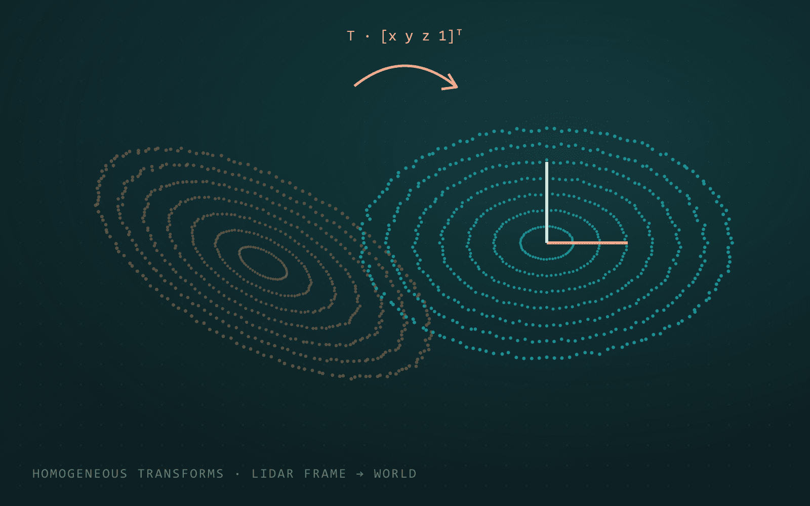
Homogeneous coordinates. Appending a 1 to each point lets translation be written as a matrix, like rotation and scaling already are. Every transformation becomes a single multiply.
Compose, then apply. Transformations are chained by multiplying their matrices, then applied to a whole point cloud stored as the columns of one matrix. No loops over points are needed.
Real data. The same approach first corrects a distorted 2D point cloud. It then handles 3D scans from Cassie Blue, a bipedal robot at the University of Michigan. Each scan is captured in the LIDAR's own frame, which moves as the robot walks, so it is transformed into a fixed world frame using the robot's pose. The corrected scans line up into one consistent map of North Campus.